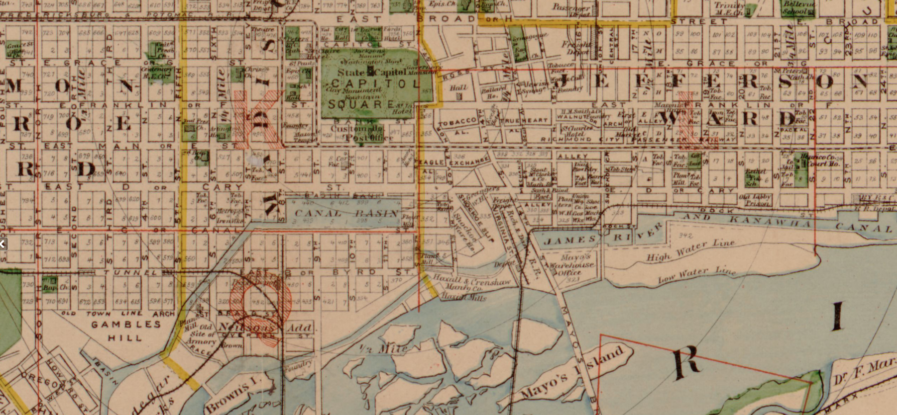
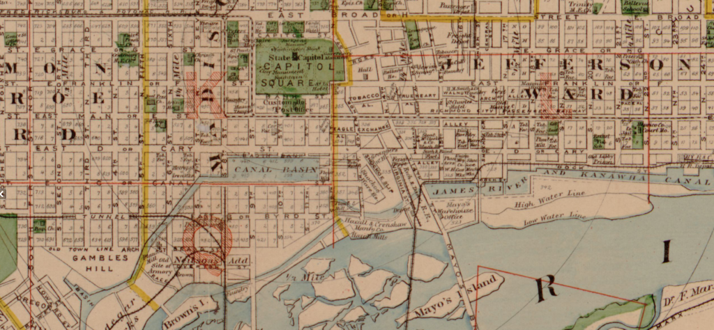
Rising Waters draws on the project team’s collective strengths and interests in urban design, environmental history, and digital analysis to revive and further the original query. From an historical question – reconstructing the story of a canal basin and infrastructure once central to the city, then forgotten – this project asks what we need to know about urban waterways in order to respond to changing urban waterscapes in an era of climate change. The project uses scattered archival materials (maps, schematics, urban planning documents, photographs, landscape paintings) and digital tools that support spatial analysis and repository curation in order to assemble a narrative of the Richmond Kanawha canal basin: its plan, creation, impact, and erasure. In this way, we hope to develop a model for further research that can be applied to other cities in which we will concentrate on the combined impact of urban development and climate change upon rivers and waterways and their ultimate impact on 21st century infrastructures. The Richmond phase of the project is intended to serve as a model for other analyses of water and infrastructure in urban spaces; the first being Lewisburg, and ultimately more complex analyses.
Principal Investigator
Claire Campbell
Email: cec036@bucknell.edu
Project Collaborators
Student Research Assistant:
Annie Echeverria (Bucknell University)
Collaborators:
Diane Jakacki (Bucknell University)
Sam Pearson (Lewisburg Neighborhoods)
Project Website
Project Status
Active
Project Started: Nov. 2018
Funding
- Mellon MAYR grant (2018-19)